← Back to IcelandOneCall

Photography & credits

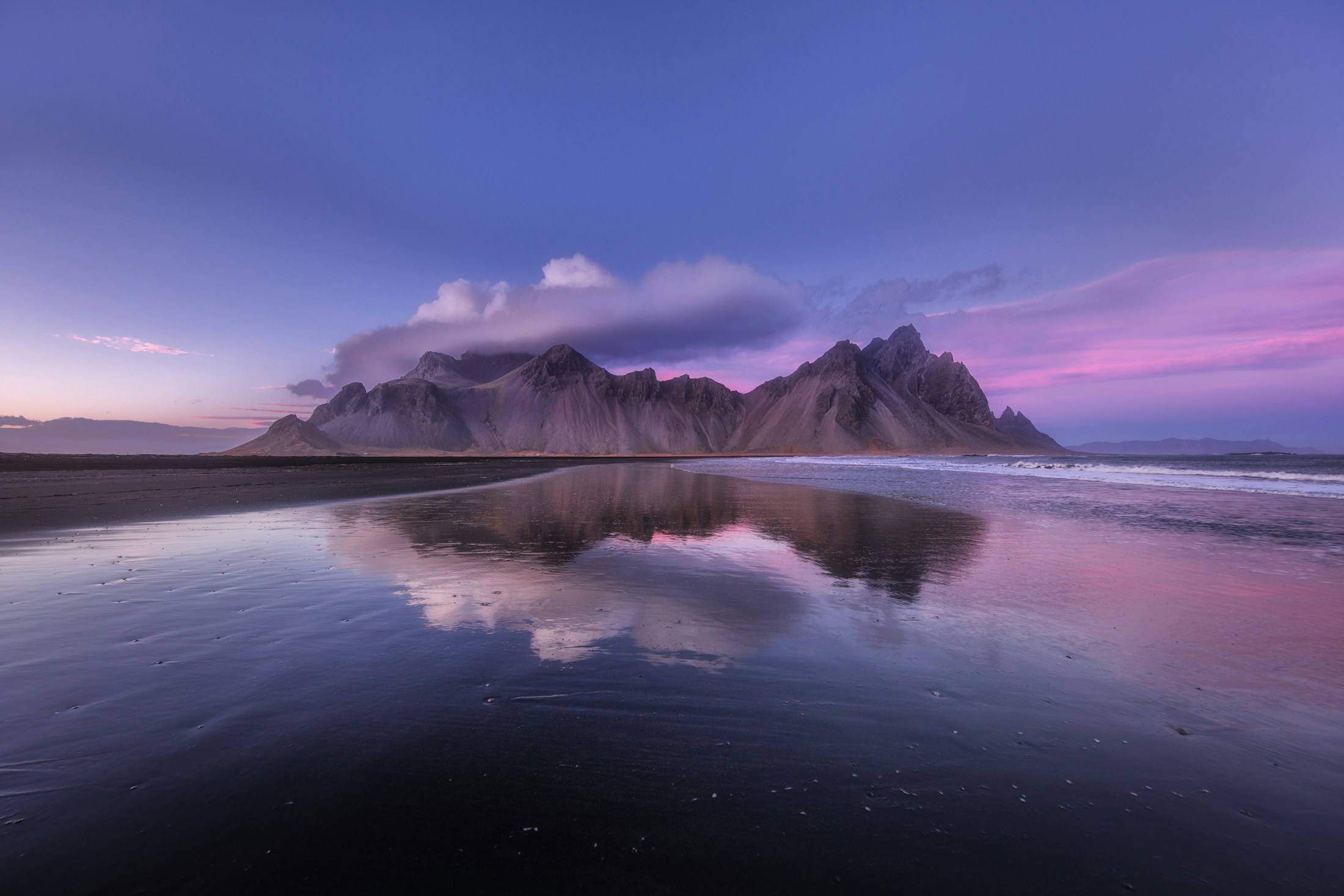
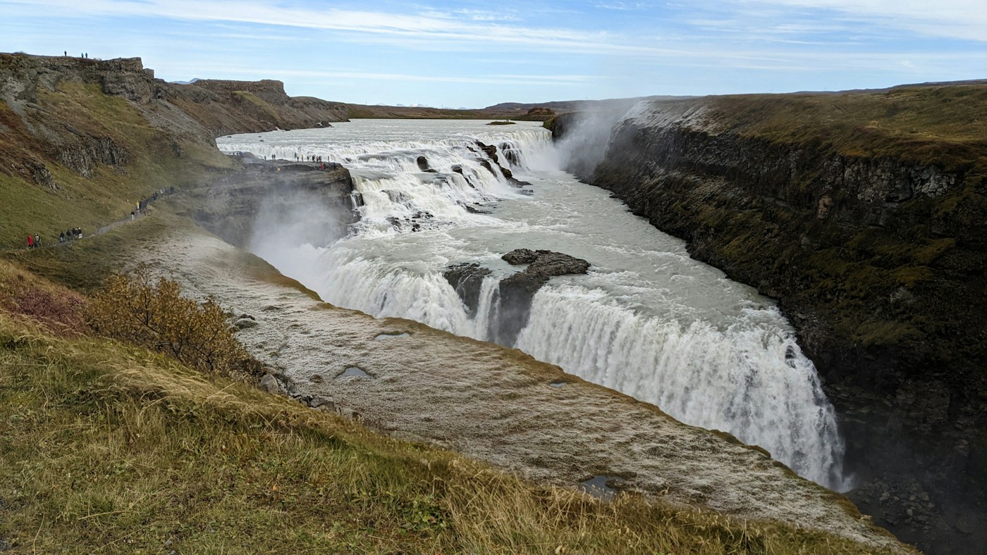
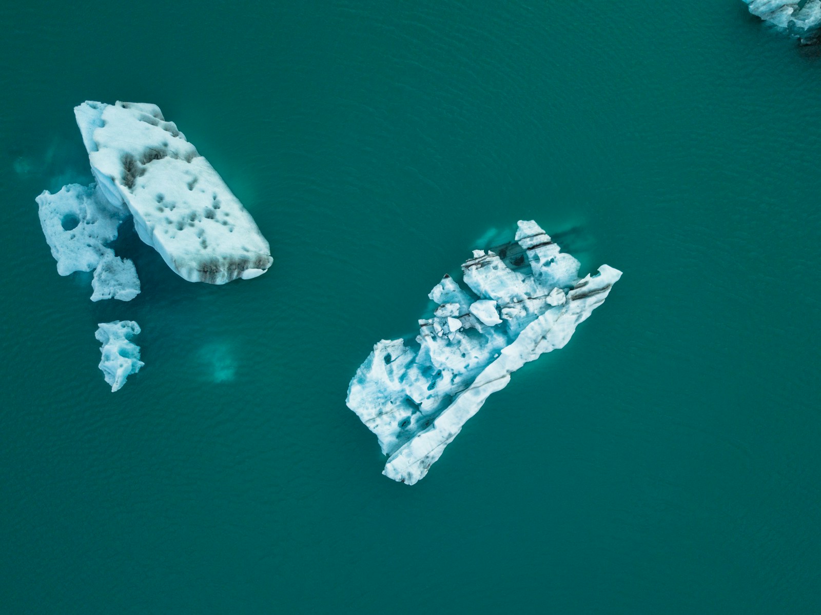
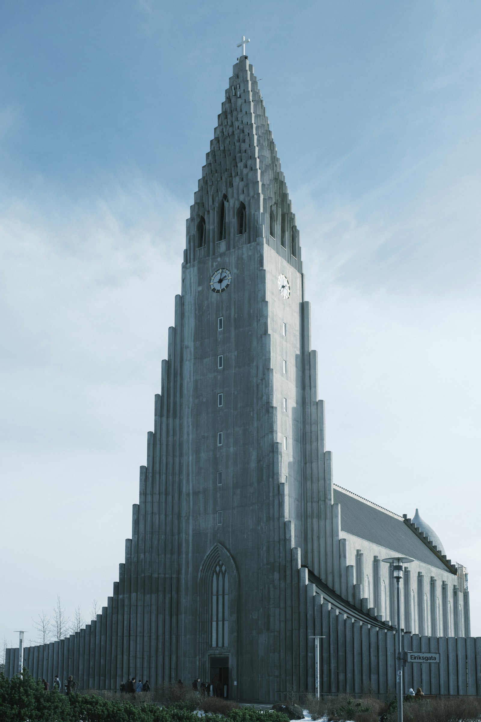
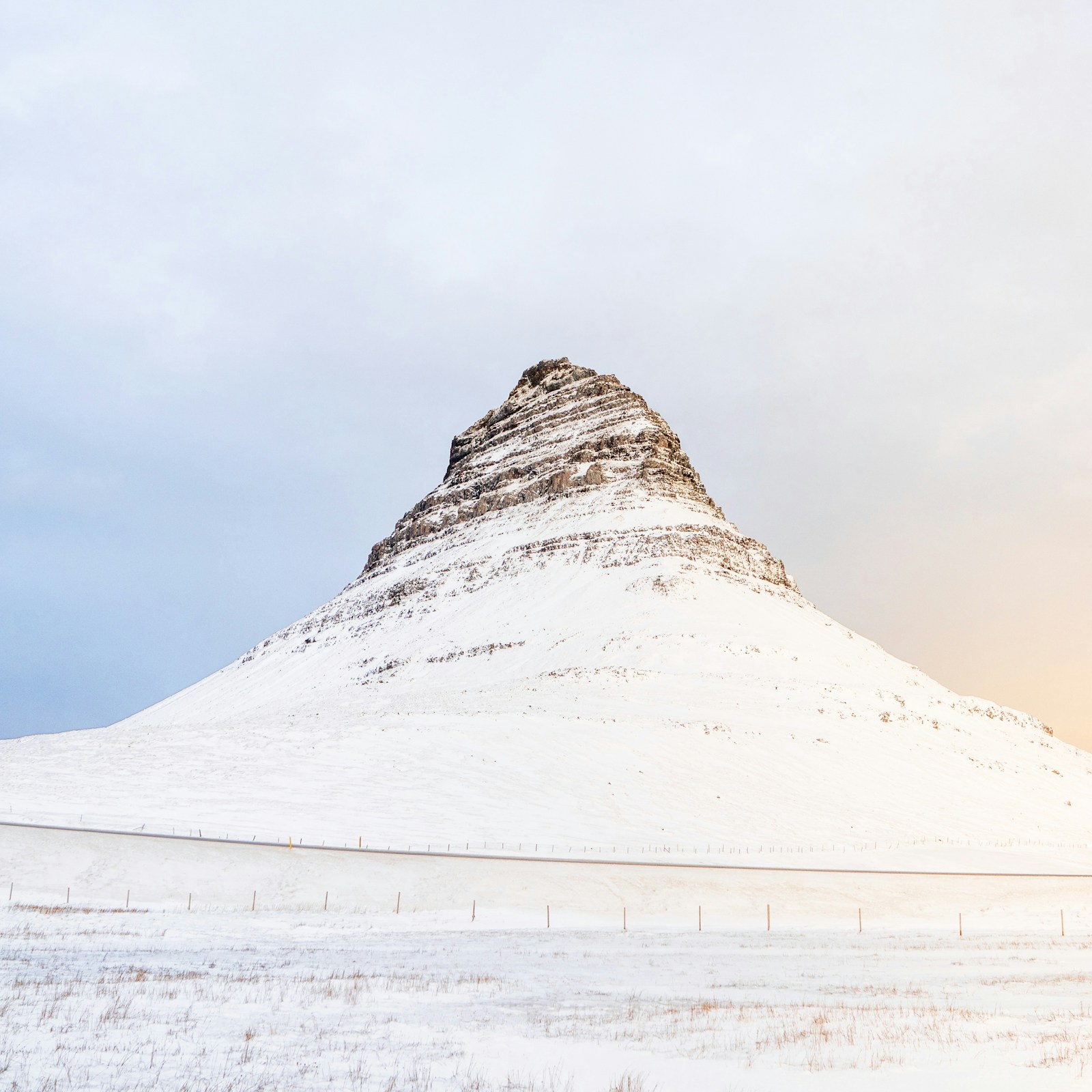
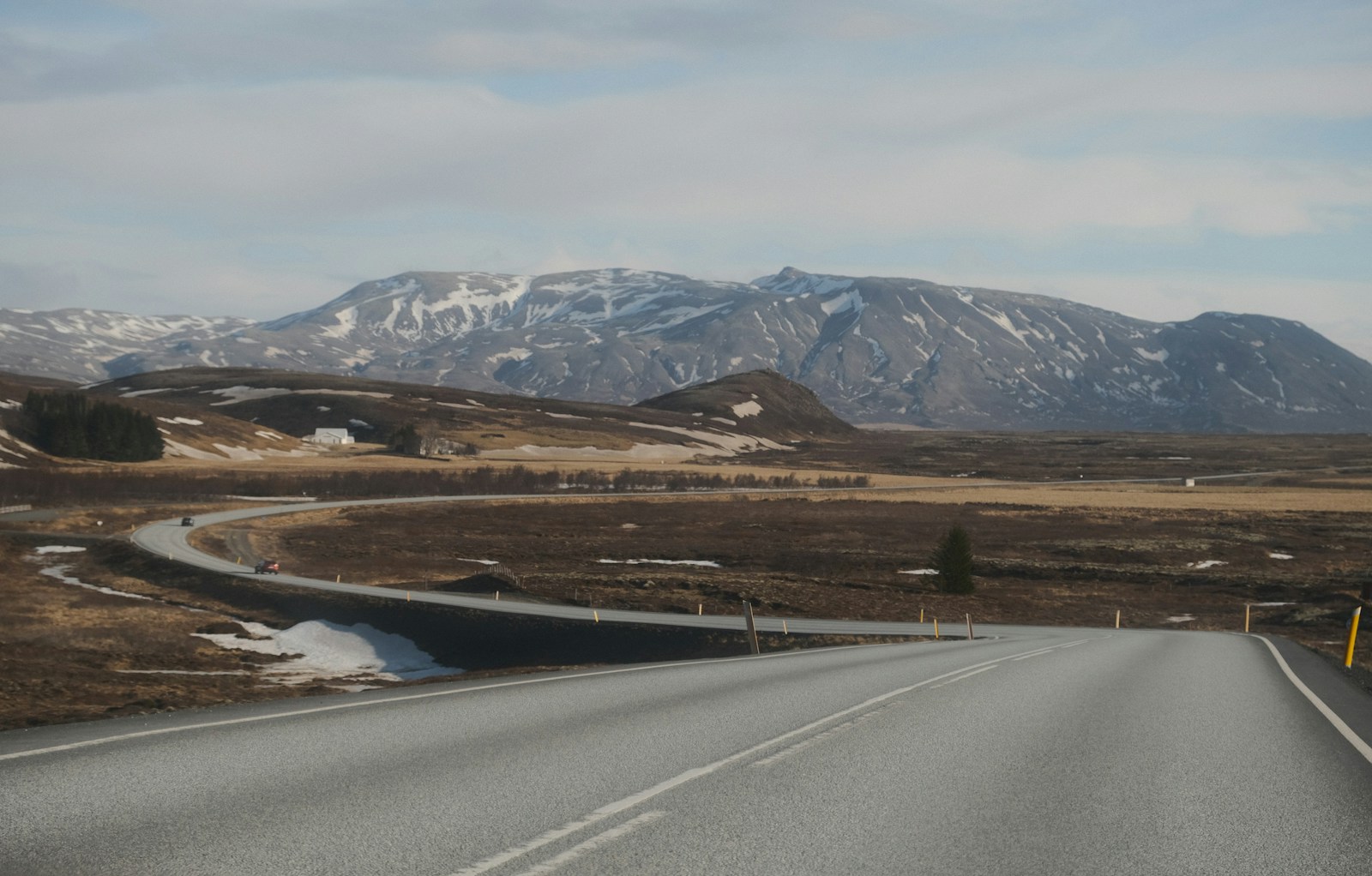
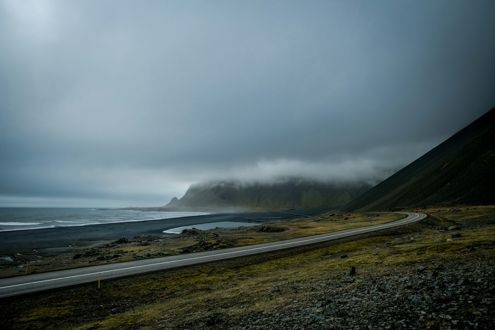
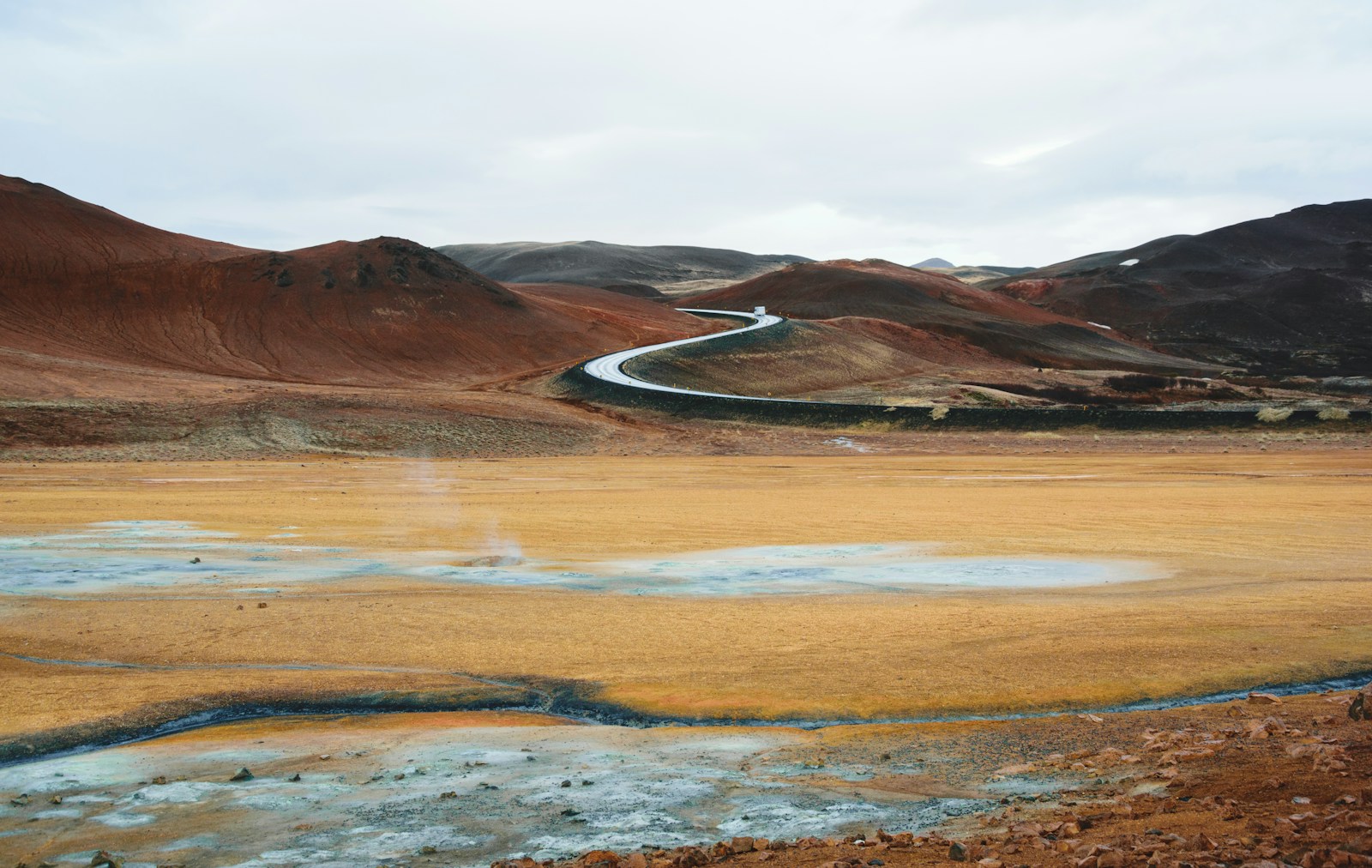
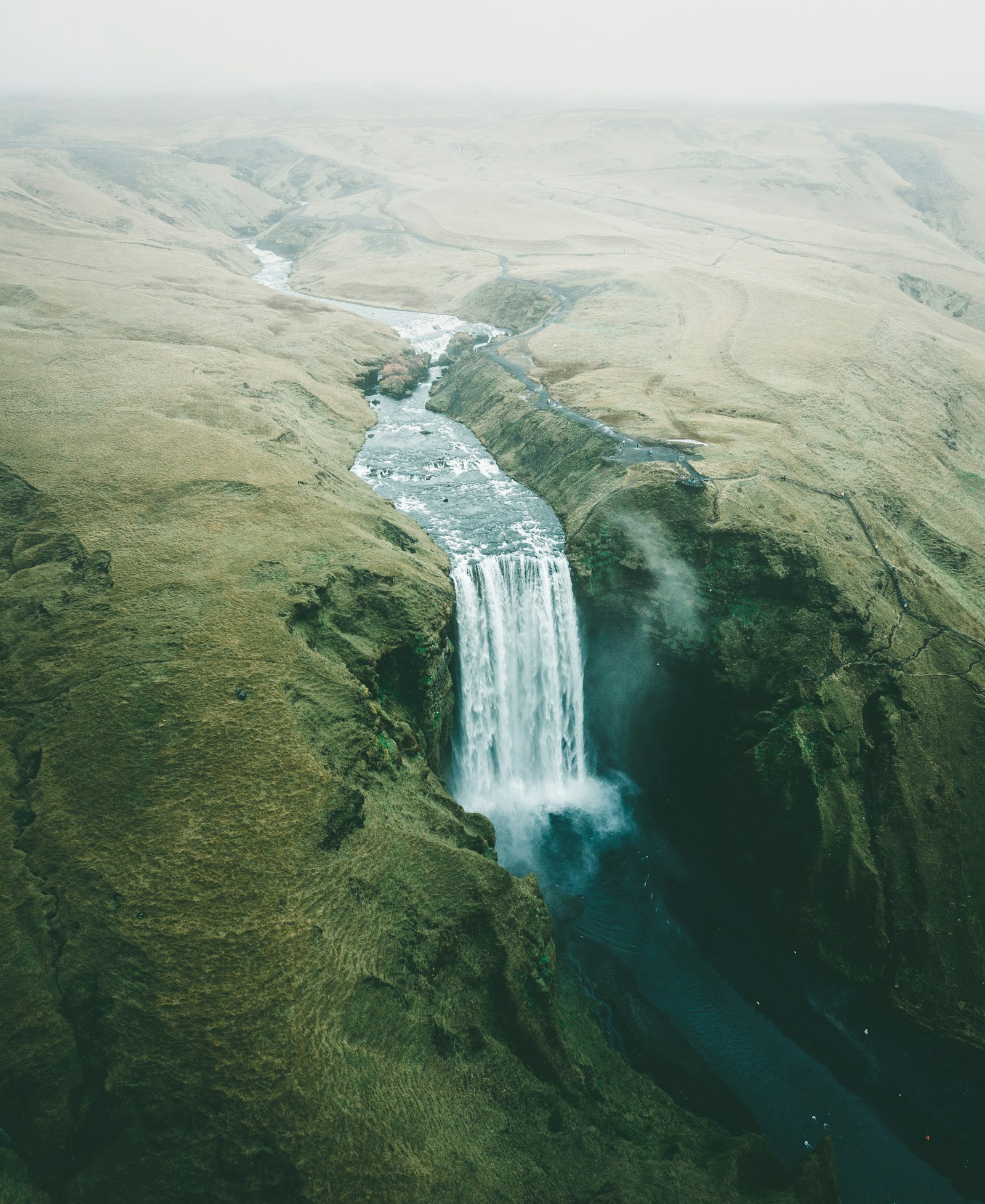
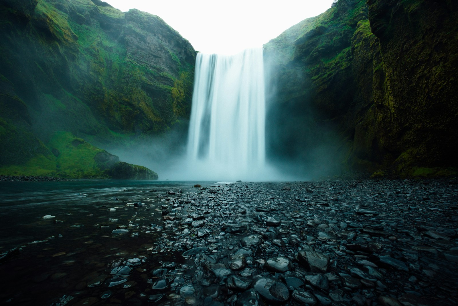
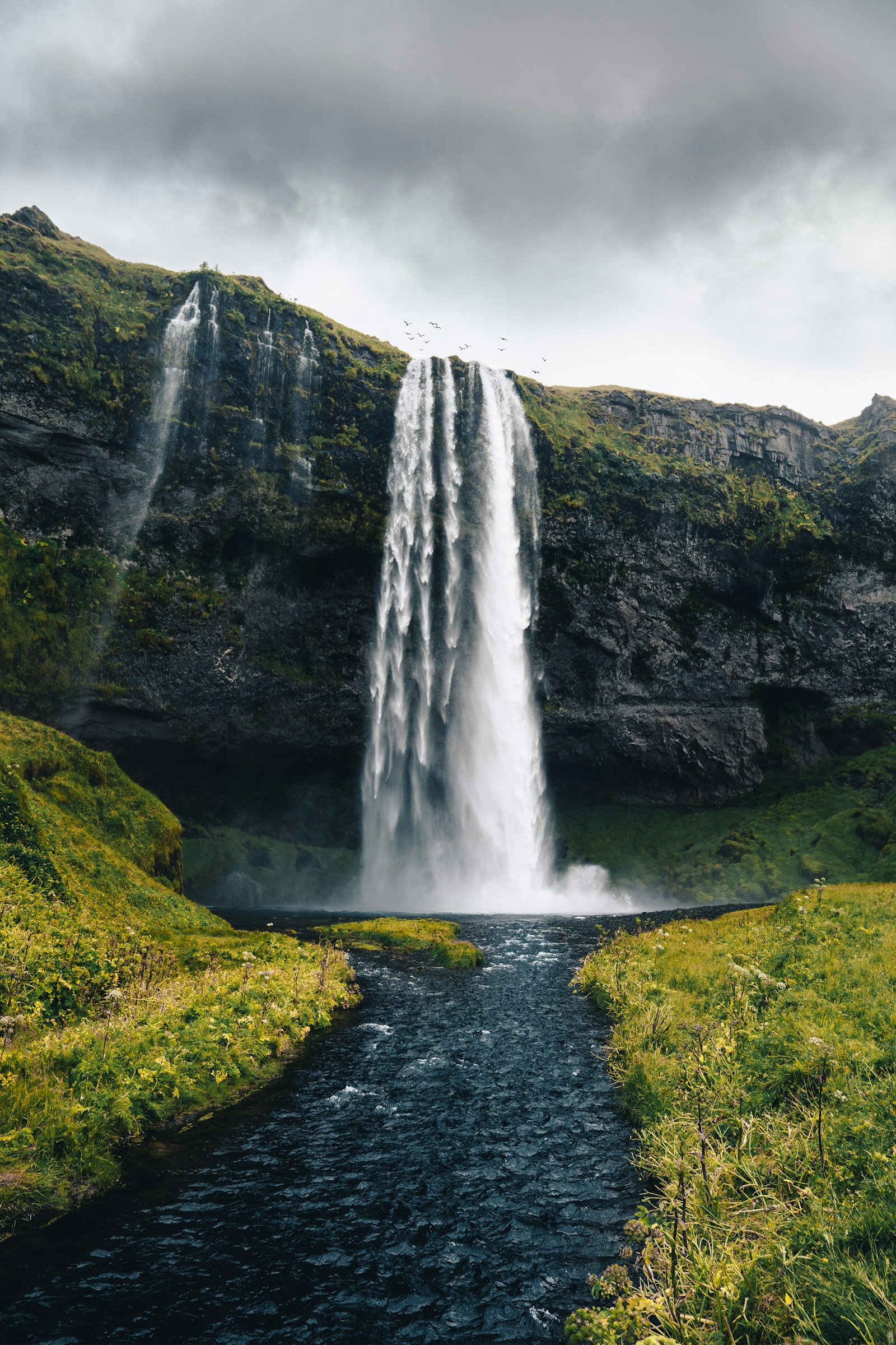
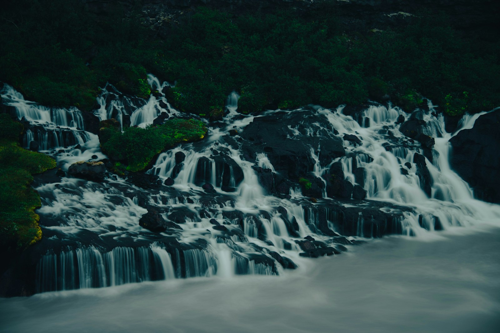
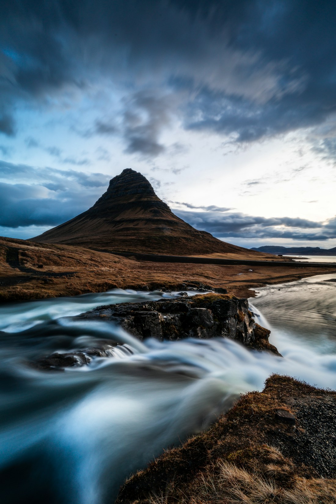
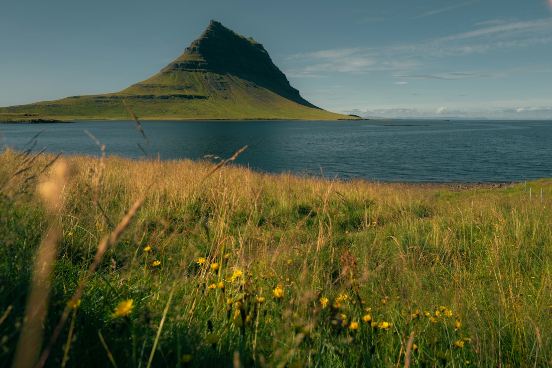
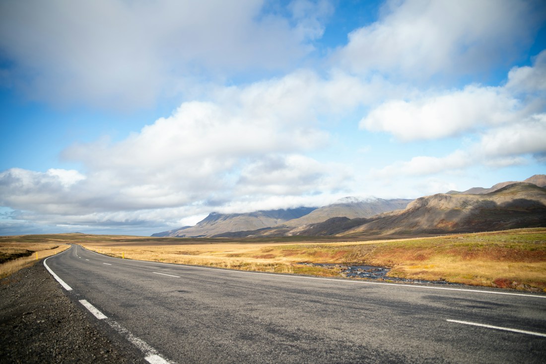
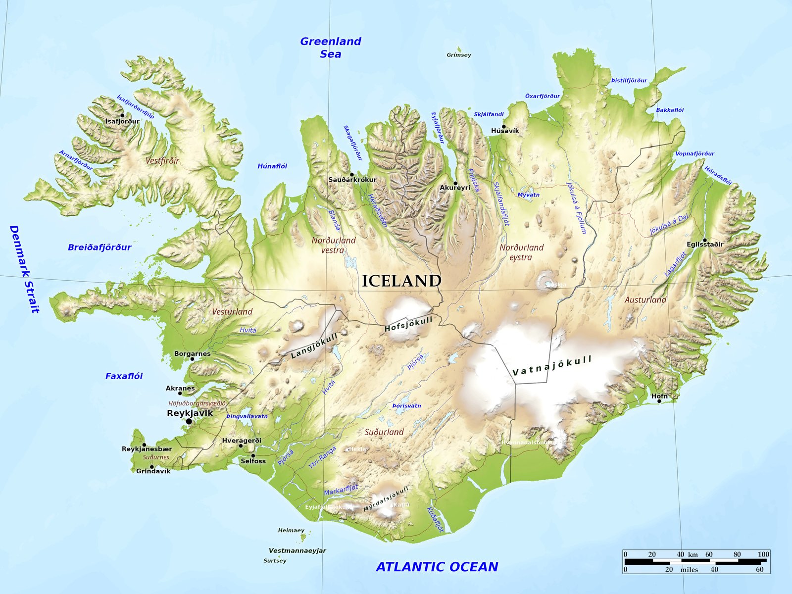
A map and real photographs of the Icelandic destinations featured on this website, with thanks to the creators who share their work.

Landscape photograph source pages were checked on 31 October 2026 and marked free to use under the Unsplash License, which permits use without a licensing payment, including commercial use. The overview map uses Natural Earth public-domain geographic data, which can be used and adapted without payment, including for commercial purposes. Source details are linked below.

Destination photographs show the surrounding region and travel inspiration. They do not depict a confirmed hotel, summer house, vehicle or included activity. Images are resized and cropped for the website layout.

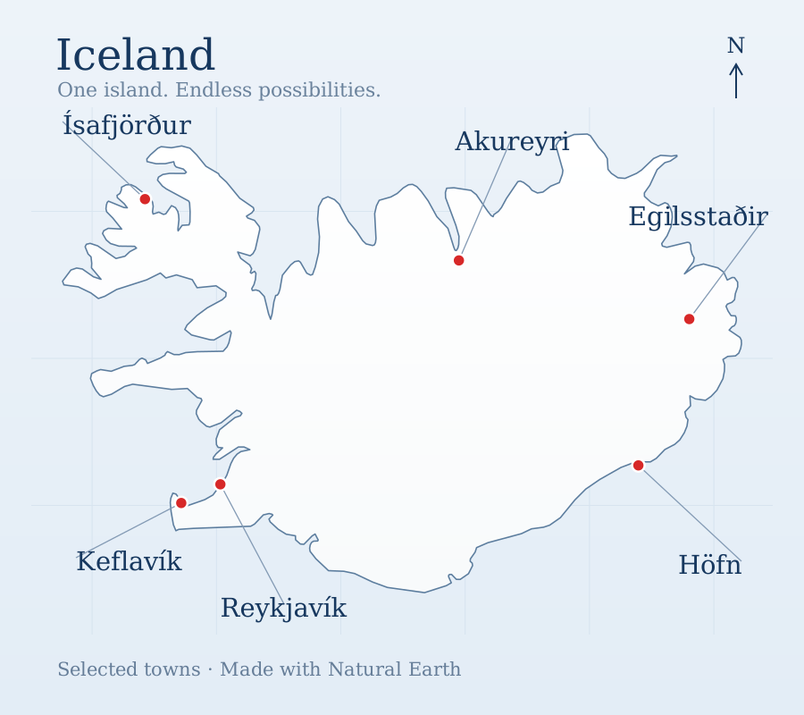
Map of the whole of Iceland with six towns labelled

Iceland · Overview map

Made with Natural Earth. Coastline: 1:50m Admin 0 Countries; town locations: 1:10m Populated Places. Map styling adapted for IcelandOneCall.

Natural Earth · Public-domain terms of use ↗

Free to use and modify, including for commercial purposes. Verified 31 October 2026.
← Back to IcelandOneCall